Historical Maps and Trade Systems in the Maritime Pacific: 17th to 19th Centuries
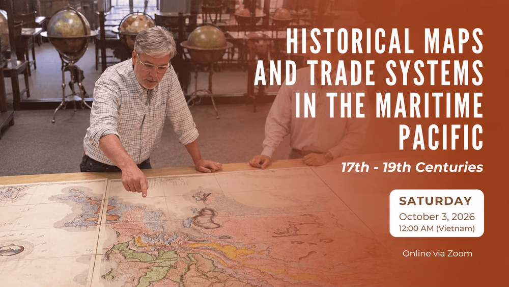
 Speaker: Richard Pegg, Director and Curator of Asian Art, MacLean Collection
Date & time: October 3, 2026 | 12:00 AM (Vietnam Time)
Format: Online via Zoom
Register: https://bit.ly/4rHKc6H
How can historical maps help us reconstruct the networks of trade, diplomacy, and mobility that once connected Vietnam with the wider maritime worlds of East and Southeast Asia?
Digitizing Vietnam is pleased to share an upcoming talk by Dr. Richard Pegg, Director and Curator of Asian Art at the MacLean Collection, hosted by the Center for Southeast Asian Studies at Northern Illinois University (NIU).
Drawing on maps produced between the seventeenth and nineteenth centuries, Dr. Pegg will explore the complex and overlapping systems of exchange that shaped the East and South China Seas. These include the red-seal, Manila, Siam, Fujian, Zheng family, silver–silk, rice–silk, tribute, Muslim, Portuguese, British, and Dutch trading systems.
During these centuries, Vietnamese ports and coastal communities were embedded within commercial networks extending across China, Japan, Southeast Asia, and the broader Indian Ocean and European trading worlds. Examining these networks through historical cartography offers another way of situating Vietnam within a connected maritime history rather than within the boundaries of the modern nation-state.
The event is organized by the Center for Southeast Asian Studies at Northern Illinois University and co-sponsored by the Center for Burma Studies, School of Art and Design, Art Museum, and Department of History at NIU.